Wandering Around Out There With A Canoe On My Head
Wandering Around Out There With A Canoe On My Head
The Plan
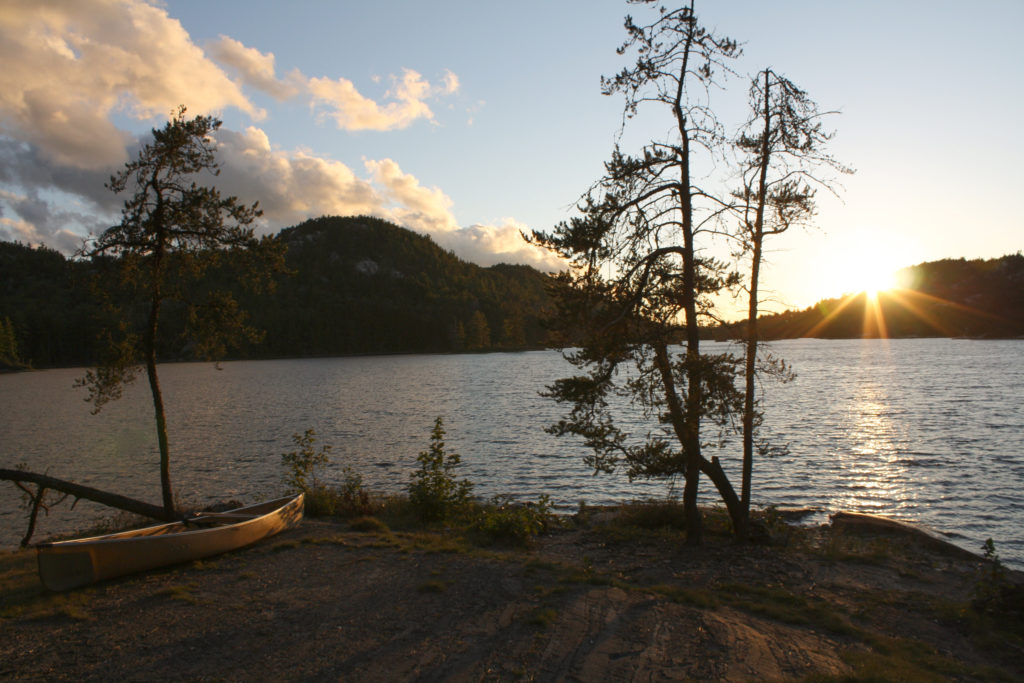
Eager to visit the beautiful west side of Killarney, and after doing research on the Group of Seven paintings that were done in the area, I started to plan the perfect route that would cover the area as best I could. I decided on a route that would go through both Grace and Nellie lake because they seemed to be the most painted of all the areas of Killarney. It was on this route that Franklin Carmichael had a family cottage, and A.Y. Jackson took well documented trips. In fact, a secondary purpose of this trip was to find the iconic spot where Franklin Carmichael famous photo from 1936.
There are much less options for outfitters on the west side of Killarney, but I was very happy with Widgawa Lodge. They issue permits on site and offer a parking, “facilities” and a dock on the West River to put in. A short paddle (less than 1km) and you’re out on Carleton Lake and on your way.
To get there, you’ll have to get to highway 6 north of Manitoulan Island. Coming from down south, you have two options: One is to get to highway 17 west of Sudbury, then head south down highway 6 towards Espanola about 19km and turn left on Widgawa road, which will take you right to the outfitters. The other is to take the Chi-Cheemaun ferry from Tobermory to South Baymouth on Manitoulan Island then north on highway 6 about 100km where Widgawa road will obviously be on your right.
I really liked the ferry idea, but I felt that keeping on it’s schedule might make getting to the put in a little awkward knowing I had a a long first day ahead of me, so I decided I would stay another night close by and take the ferry home. They strongly advise making a reservation for the ferry (done here) and you absolutely have to be there at least an hour before departure. Don’t worry, they let you park the car in line and get out and wander around while you wait.
So the plan was to drive up 69 to Grundy Lake Provincial Park, stay the night, then travel the next morning up to highway 17 then down 6 and to the outfitters.
Reservation Issues
While I managed to make all the reservations without issue, I had a slight problem reserving the interior campsites necessary for the route. I have read in several places that the Grace-Murray loop should be done counter clockwise, but I couldn’t get a site on Grace the first night. I was particularly upset because of the reservation system issues at Ontario Parks for 2010. I had called precisely 5 months before, but was put on a call back list – that of course they didn’t call back. When I finally called back, the two sites were occupied. Luckily, it worked out to reverse the route (hence the name change to Murray Grace). Couldn’t be that different, right?
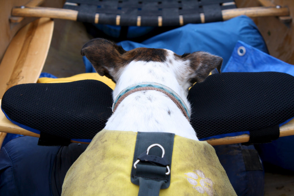
The second problem I encountered was that the group that was originally going with me all dropped out one by one, so what seemed like a tough trip became a little tougher. I wasn’t alone as long as Nancy was with me, and while she supplies some needed assistance, she din’t paddle or carry anything. The third problem was that we had a unusual cold spell during the time of my trip, with a lot of rain scheduled. I made a pit-stop along hwy 17 and got blasted with the cold fast winds. Wow. This was going to be something.
Windy Wet Ride (Day 1)
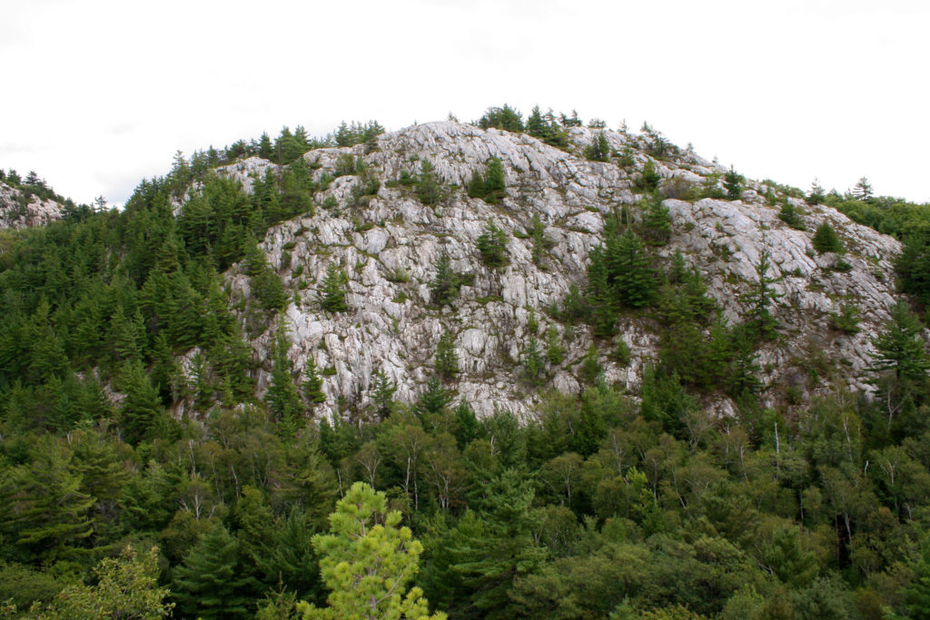
The last thing the outfitter said to me was to give me reassurance that today was going to be the worst of the weekend. I hoped he was right while the rain sprinkled down on me paddling through the West River into Carleton Lake. Once out of the protection of the river the northwestern winds blew strongly behind us. I had 15km to get to Murray Lake, so this seemed like a little bit of help, that is until it picked up a bit. I didn’t even notice the wet and cold when I got my first glimpse of the quartzite cliffs that surround the shore. I’m still amazed to see trees growing out of it.
I rode the winds and waves past the big islands on the lake, then paddled behind their protection for the 8km until I reached the calm waters of Howry Creek. Twisting and turning, the river runs 3.4km through a swampy protected area that I imagine would be beautiful on a nice day, but either way is a birders dream. Even with the weather we saw lots of different birds, specifically 5 blue herons. I don’t remember seeing that many in as many days.
Altered Portage
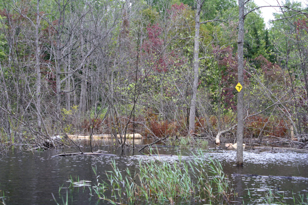
Once you reach the 2.6km mark on the river you come to the marked lift-over, a beaver dam with an clear worn take out. Then suddenly, about 100m later you reach the unmarked lift-over. It’s clearly a new beaver dam with an small, awkward area to get around. The real surprise was 350m later where I floated up to the portage marker in the middle of the water. I thought it was a joke. This part of the river was clearly once above the water considering all the now submerged trees and bushes – some still with green leaves. I thought maybe the marker was meant to direct me to the portage, but the route was impassable from over-turned trees. I moved along further thinking maybe the raised water made the portage unnecessary. No luck, unless we were going to climb the waterfall. I found a clearing to the right of the falls that had obviously been used as a take out. I carried a few meters to find the portage trail. Turns out the marker was directing me to the start of the portage, which has been reduced from a 210m to a 108m portage (141m if I started where I was supposed to).
The portage took us to Murray Lake, our destination for Day 1, with a 2.4km paddle to our campsite. The outfitter had suggested that the sites on the south side were the better ones, but a guide we met along the portage asked me if I wouldn’t mind leaving the northern site for her group – apparently it’s bigger. So Nancy and I made our way to the site just past the portage on the south side of the lake. From here we got our first glimpse of the white capped La Cloche mountains to our south. The next day’s portage was located in between two very large mountains peaking at around 600-700ft. “At least we won’t have to carry over that,” I said to Nancy.
Murray Lake
It was a pretty good site, but the flat area was a little small – more than enough for just my tent of course. Of course I had to have one last adventure for the day. The site’s take out was on a steep incline, where I found it easier to hold on to the canoe and toss up my gear. Seemed like a good idea until my sleeping bag started rolling back down and into the water. I thought I was going in after it – which the temperature made it a horrible thought – but I managed to pull it back with a paddle. It wasn’t too wet, but it reminded me to invest in a water proof sack at some point.
“Tomorrow is going to be warmer,” I told Nancy, “don’t worry”. She still had no interested in snuggling though.
Sure enough, Day 2 was going to be much warmer. It took me a little while to get out of bed because I was warm there, but when I saw the sunlight I was motivated enough to get out there. I ate breakfast to a slowly rising sun and warmer day. Today was going to be the tough day, so dealing with cold and rain would make it tougher.
A Tall Portage
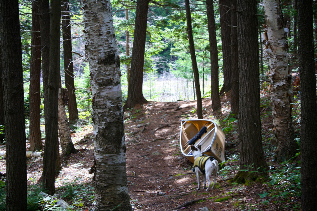
It was a short paddle to the first of two portages of the day (Murray, in the light of a nice day, was actually a very pretty lake), I organized my gear and got ready to begin the 1470m march to Nellie Lake. Portaging solo has some challenges, one of them being that you have no help carrying anything, the other is that you have to be careful – specifically because they’ll be no one to help carrying anything if you get hurt, including you. So my strategy was the same as always, I would go until I was tired, then take a break going back to get the canoe, then repeat. Except this time I needed to be ultra strict.
The portage starts with a very steep hill that goes up around 50ft over a short period. I knew it wouldn’t be easy because it had a name: “The Notch”. In fact, the portage itself rises around 300ft at it’s peak, and has a 200ft overall difference between lakes. I understand now why it seems better to go in the opposite direction. I remember what I mentioned to Nancy the day before, and as it turns out we practically did have to carry over the mountain. There were steep spots and narrow sections, and areas where you were balancing over a pile of broken rocks, but every corner you turned you saw yet another great view. On either side were the white quartzite hills. I couldn’t stop enough to take pictures. At some point I had looked to my right and saw one of the white caps of the hill to the west. I dropped my gear on the spot and started to climb up and see how far up I could get. I mean, I was here, and pretty exhausted by this point, but when would I get the chance again? We made it up to about 1050ft (above sea level, or 500ft above where we had started on Murray) and the view was spectacular. We climbed down when something spooked Nancy. I figure if she spooked by something, it’s probably a good idea to leave.
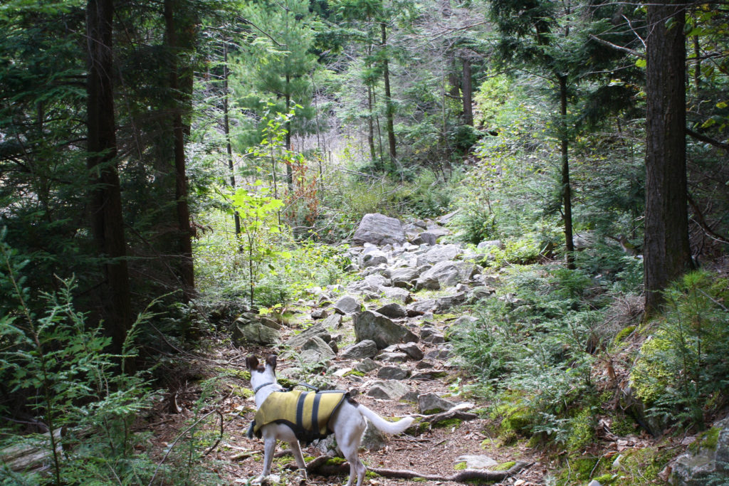
We climbed down and continued the portage, which wasn’t very difficult from this point, and happened upon that group of ladies we met on Day 1. They asked me whether I had climbed up the mountain, then asked what was the view like. I told them that it was funny, but not much as it turns out. I had climbed this great big hill and looked to the east and there was another taller mountain there. Unreal. But to the south I got my first view of one of the prettiest lakes in, well, probably the world: Nellie. It’s reputation is well known. Apparently it is so clear that you can see down 28m, and some people suggest the only reason you can’t see further is because that’s the bottom you’re seeing.
The Beauty of Nellie
After a short chat with the ladies, we were off on Nellie. I wanted to take it in, so we slowly floated towards the other shore (okay, I was pretty tired too). It was magnificent. Everywhere you looked was a perfect picture. The lake was clear, surely, but to water colour was unreal. It all depended on the angle, the sunlight and what was underneath, but as you looked around there were a multitude of colours beneath you. I saw it as crystal clear straight down, aqua marine in one direction, bright blue in another, and even purple. Under a shadow close to sure it was a bright amber colour. I didn’t want it to end, but we did eventually float to the take out at the next portage. We sat and ate our lunch starring back at the lake. This view made the last portage totally worth it.
After lunch we set out on the 2085m trail to Grace lake. It was a took some effort but it didn’t seem too rough, which I attributed only to the effort we had already made getting over the last portage. Besides, I was distracted by my fresh memory of the view of Nellie to really think about the current effort. Measurements when I got home suggested this portage has another 50ft difference between lakes, and actually goes up 200ft, but the distance is much more spread out. The only tough spot was about 150m from the end, where you had to cross a narrow, wobbly beaver dam. I had to be very careful because at this point I was pretty done. On my way back for the canoe I carried a few more logs I found lying around and placed them on some of the tougher spots. I figured the beavers wouldn’t mind.
Wow
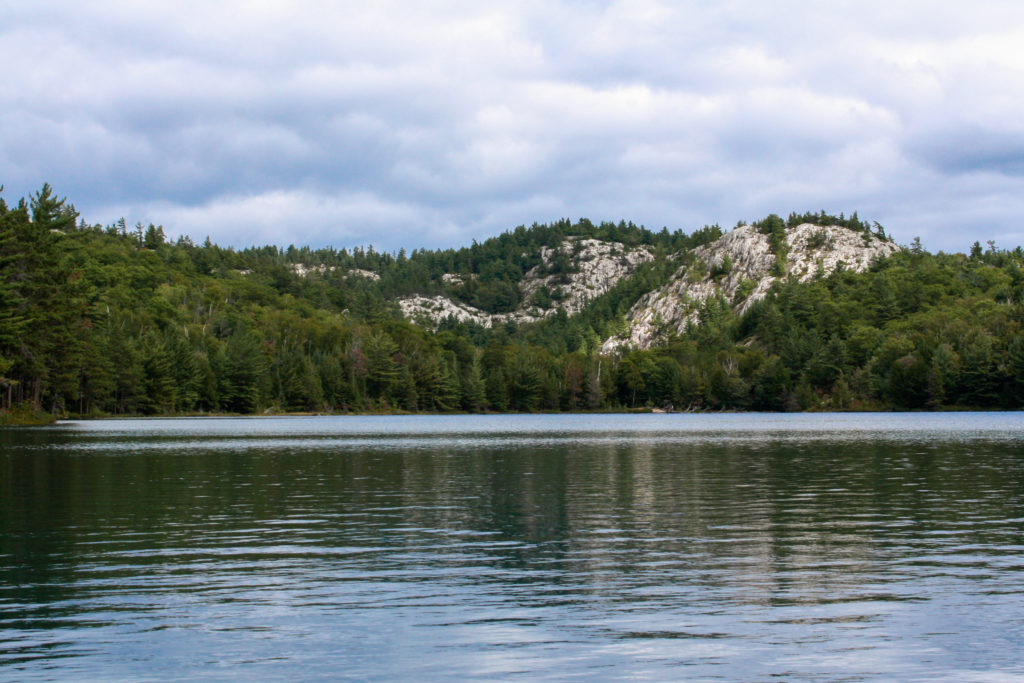
The end of the portage offers one of those truly great moments of the portaging experience. After a long, tough, exhausting portage that questions whether the effort’s worth it, you round the corner as the forest opens to show you a truly remarkable view. Yeah, it was worth it. There is a huge mountain right there welcoming you there. That’s why you do it: for moments like this. Once in the boat we turned the corner to an even better view: another mountain over the lake. Everywhere you looked there was a mountain. The evening winds kept our progress slow for an exhausted paddler, which wasn’t nice.
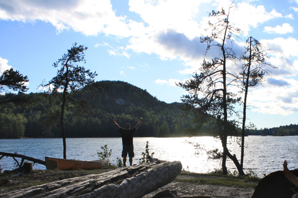
We got to our campsite and sat down to take it all in. We had a view to the west, with a sun falling slowly between two huge mountains, sparkling the clear waters. (I’m trying my best not to over use the term “crystal”). I just sat there and watched the sunset. I didn’t want to miss a moment.
More Wow
The campsite was, obviously because of the view, was great. It had a large flat area for sitting around the campfire with red strips of rock stretching into the water. There was even a beach area with very clear water to our north, but it was still a bit cold for swimming. The only problem was the wind making starting a fire and cooking a bit of a task, but there were plenty of flat rocks lying around that I used to shield the flames. We finally had our dinner when the sun was down, went not much later went to bed for a well deserved sleep.
And More Wow
We woke around 3am because both Nancy and I had to go. It was cold, and I didn’t want to go out there, but I knew if I got it over with I’d have a much more comfortable sleep. We got outside and looked up to the stars. I had gone to bed thinking that the view of Grace Lake was over for the day. Up above us was a brilliant colourful sky with the bright strip of the milky way. As cold as it was out there, I had to stay and watch for a bit. I mean, you just have to.
Rainy Day 3
Day 3 wouldn’t be a repeat of Day 2, rather more like Day 1. It was pouring out when I woke (good thing I went last night). I turned over and hoped that the rain would stop soon, or that I could sleep through it, but I couldn’t sleep worrying about my plan for the day. Today I was going to find Carmichael’s Rock. Today would be shorter than the last two, so I had the time. The problem was that if it kept raining we would be soaked all day. I was also worried about the winds we were in on Day 1, except this time they’d be on our backs. In a full blown storm getting home would at least take all day. I decided today wasn’t the day. The smart decision was to get to the outfitters before the afternoon winds came.
We packed up our wet gear and paddled the 1.3km across Grace to our last portage of the trip keeping our eyes on everything around us. Even with the rain and the dark grey skies, the view was still something else. The 1745m trail to Cranberry Bay is a very easy light trail. The rain didn’t ruin the views here either, with a large escarpment on either side of you as you make your way down the portage. At the end, just when you think you’ve seen all that the area has to offer, there’s another mountain waiting for you.
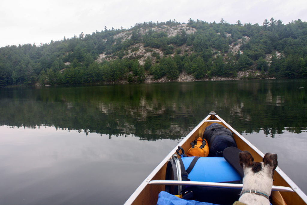
On the 10km paddle back to the outfitters, the clouds whitened, but weren’t prepared to go away yet. On either side we were guided by more of the La Cloche mountain range, but the further you go, the more cottages start to pop up. I can’t remember whether I was upset by cluttering up of such a pretty place, or jealous I didn’t own one of them. When we reached the narrows crossing into Frood Lake, we were met by several motor boats. I thought Nancy hanging out on the side of the canoe was the cutest thing I’ve seen, but we passed a Jack Russel on the bow of a motorboat that certainly compared. No cute life jacket though.
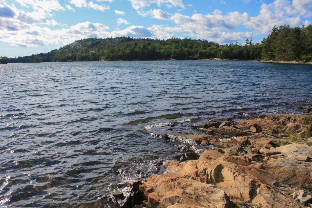
When we got to the turn north, the coast was covered completely by cottages, docks and motorboats. From there it was a slow 3km paddle back up to the West River and to the outfitter. I was tired, sore, cold, and still pretty wet, but I took my time getting back, not really wanting the experience to end, but as with all good things, truly my favourite trip did end.
The Trip Home
The trip home was a fun one. We drove south down highway 6 to just before the town of South Baymouth. We stayed at the Buckhorn Motel, a simple but nice place to stay at a very favourable price. It was run by a really nice couple from my hometown, Hamilton. Neither Nancy nor I stayed up very late, and both were very happy to have a soft bed. In a blink the morning came and we were on the road to take the ferry home. It was a beautiful ride, starring out into Lake Huron, reflecting on what a great trip we had completed. Well, I did anyway. Nancy didn’t really like the ferry at all.
When I got home I couldn’t stop talking about this trip. Which convinced my friends that we should do it again next year. Even better, when I showed my wife the pictures, my normally camp-phobic wife decided she had to go too. Next time, with the extra help, I’m going to try again at getting to Carmichael’s Rock, but even if I don’t it will be worth it to try.
Technology Postscript:
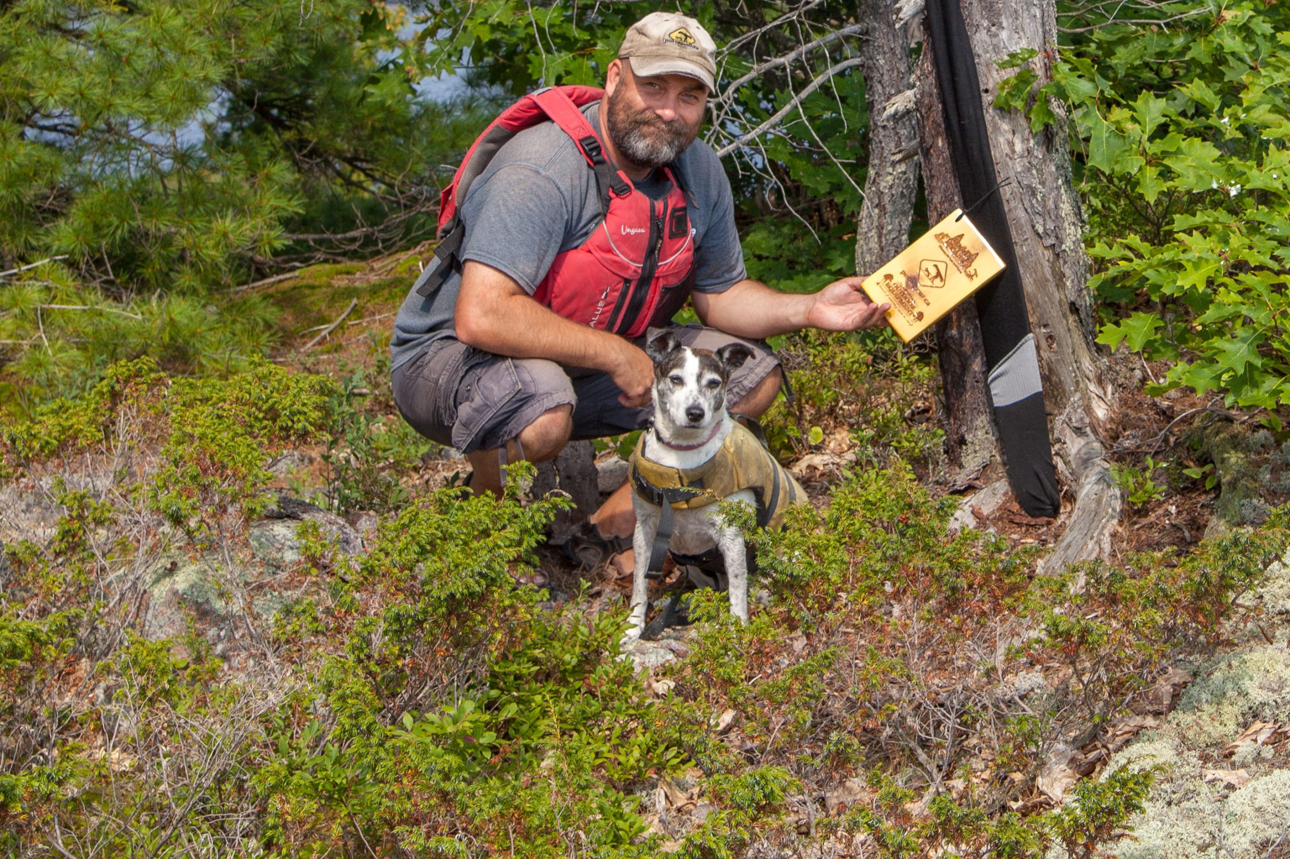
Amazingly, I had cellphone reception, though limited, throughout the trip. Foursquare users have a few venues to check out. I’ll be thinking about a prize of some kind for people who take over my mayorships. Check back for more info.
Session expired
Please log in again. The login page will open in a new tab. After logging in you can close it and return to this page.
[…] a solo trip into the west side of Killarney, I stayed at the Buckhorn Motel. I was planning on taking the Chi-Cheeman ferry from Manitoulan to […]
[…] A more detailed description of the whole trip, maps and more photos can be found here. […]
I’ve only ever done grace to Nelly and back out through grace. I have just booked your exact route as the I had a similar experience with reservations. This is the first hard canoe trip our family is going on together. I’m hoping my 6.5 year old can handle the hiking, she’s pretty ruggid but the Murray Nellie portage has me a bit worried. Lol.
If you take your time, it should be a fun hike. There’s lots of opportunities to stop and take in the scenery. Have fun!
Thanks so much! Sometimes you just need to hear that! Nellie is one of my fave places in Canada!!
[…] A more detailed description of the whole trip, maps and more photos can be found here. […]