Wandering Around Out There With A Canoe On My Head
Wandering Around Out There With A Canoe On My Head
The Plan
If you’re going to do something, you might as well do it right. When my friends and I planned the latest trip to Killarney there was just so much we wanted to see we decided we would travel through as much as we could. We decided on a sort-of figure eight (more like a 3 then an “E” beside each other) shaped route that would allow us to see as much as we possibly could of the east side of a very beautiful park.
The closest provincial park campground is on George Lake on the southwest end of the park, which means a pretty long double back to get to the put in on Bell Lake. To get there, travel north on highway 69 past the French River and exit onto highway 637. It’s still another 60km from here (another 10km will take you to the town of Killarney). George Lake is a very nice campground with many private campsites among the tall trees. The staff here are very friendly and accommodating. Because I had arrived very late, a park officer met up with us and helped me get my car parked in the right spot after which we had a nice long chat.
The next morning we picked up our permits at the campground office and drove the 21km from George Lake to Bell Lake road, then another 9km down to the lake. Make sure you call home before you leave George Lake because it may be the last time you have cell phone reception for a while.
Heading Out on Bell Lake (Day 1)
The outfitters we chose for this trip, Killarney Kanoes, have offices on several offices on the south side of the park at all the major access points, which means not having to transport the canoes. They have an online reservation form, plenty of different types of canoes (including solo) and their website even has a simple map of the park which I have often used as a quick reference over the years.
We left the cars at the public parking area (which is beside the public put in), and walked the gear over to the outfitter’s private dock to pick up the canoes. I was able to try out a 15′ Souris River solo canoe. Like most solo canoes it was awkward to portage – though light enough that it wasn’t much of a big deal – but this boat handled very well.
The first day was mostly paddling. For 6km, we traveled northeast up Bell Lake until it turns narrows into Three Mile Lake then curves back west. Gazing at the shore, I was taken back by just how tall these trees were. I kept looking up at them trying to figure out whether it was some kind of optical illusion. The other thing is that they all seem to be growing out of places you wouldn’t think they’d grow – the shallow bits of dirt on top of a rock or just straight up out of the rock itself.
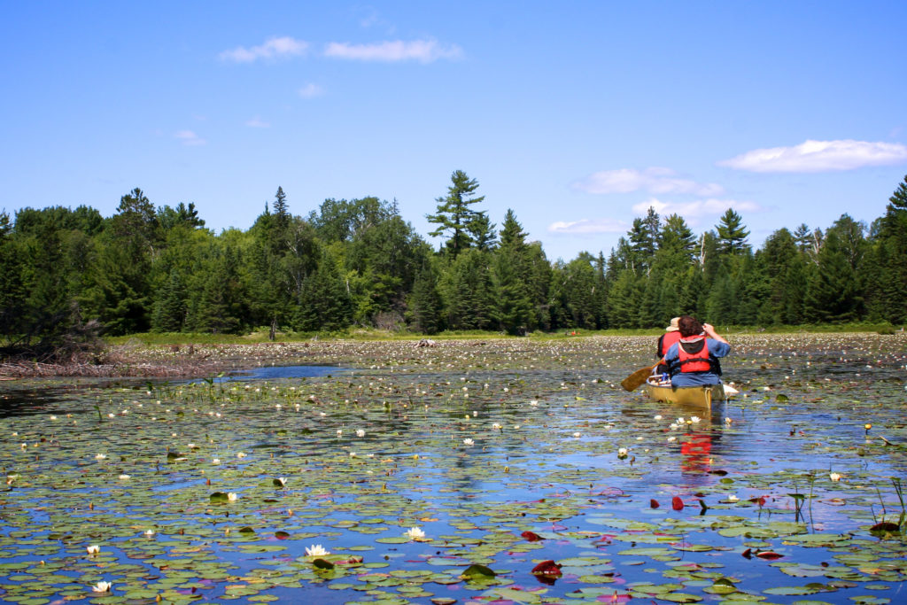
Our first portage was a small one (30m) that had a flat concrete path that was used to carry over larger boats into Balsam Lake. “I hope they’re all like this,” someone said. We all laughed, knowing there wasn’t much chance of that. After another 6.3km paddle west across Balsam we’d get a small taste of out what Killarney had in store for us. (Keep south of the big island as the more direct north side was impassable when we were there last.) Balsam turns north and just before the actual lift-over into Deacon Lake, there is some boggy areas that we were able to turn into a bonus lift-over.
Our First Bog
Two friends have a knack for finding shallow spots, and one in particular is constantly showing off his Jesus impression appearing to walk on the water when his canoe needs getting unstuck. This time it was a boggy spot that almost ate one of their shoes. Today, I found the site of someone getting muddy quite funny as they got themselves unstuck, reached into the muck shoulder deep to retrieve the shoe, then raising it up in victory.
Deacon was a beautiful isolated lake, calm and crystal clear, which we traveled across to get to the 210m portage into Fox Lake, also beautiful, isolated and crystal clear, where we would camp for the night. Originally, knowing that Day 2 would be very long, we were hoping to cross over one more lake to Peter on the first day, but according to the official park map as well as the Ontario Parks reservation system, there are no campsites on that lake. However, I found two when we passed through. They’re marked as “CampPossiblePossible” on the downloadable route.
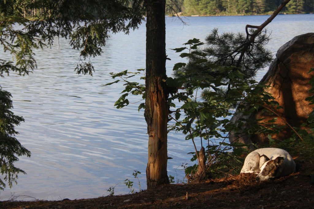
Looking back now, our site on Day 1 wasn’t that impressive, but only because our next campsites would be so much better. It had a nice flat campfire area, and a flat rock with a subtle incline into the water and there was plenty of space to move around. It was here that we received our first turtle visit of the trip, with each hanging out just off shore and being bigger than the last. The site might be a better solo trip site however, as the privy was practically out in the open, just a few yards from the common area. That being said, it’s the only site on Fox.
Starting Off on the Right Foot (Day 2)
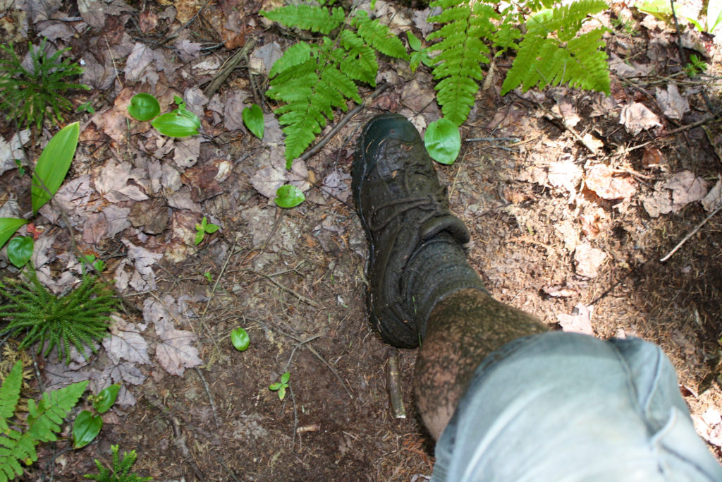
We woke to another gorgeous day, well rested and ready for our longest day. Day 2 began with a short 1km paddle across Fox to our first, and toughest portage of the day. It was only 1322m but went up and down and was muddy. Just before the 400m mark we were stopped in our tracks by a marshy stream that needed to be crossed. Boggy and muddy, you needed to keep a steady balance on the thin, unsteady logs that make up the trail at this point. With a heavy pack and a canoe, it’s an even tougher task, that I’d really like to say I was up for. Falling off balance, as if in slow motion, I looked around for a spot to land my foot and chose a brown spot hoping it would hold. Nope. My foot went down into the bog right up to the knee. My canoe was stuck on something and it took all my effort to get it off my head, but now the weight of my pack had me trapped like a turtle on it’s back. Without a friends help I don’t know what I was going to do. We made it across, energy spent getting over the stream, only to find the route go back down into more muck. This seemed to be the theme of the portage: we’d go up an incline then right back down into the muck, then back up again. I probably wouldn’t even notice without a wet stinking leg exhausted from getting unstuck, but there you have it.
The sun beamed down on us paddling the 2km across Peter Lake to our next portage: a relatively easy 460m trail to Lake Panache. Peter is a gorgeous lake, and a sharp breeze was coming from the south so we sat and ate our lunch, and let my leg dry. In another slight misjudgment, I suggested since we’d be moving north then west, the southern wind should help us. What I didn’t think about was that Killarney is a system of rivers zig-zagging in between tall hills. When the wind blows into the park it twists and turns along the rivers making it seem like a strong west wind just suddenly changed directions. And so it was for us as we made our way on the top of the park along Panache Lake.
Lake Panache is a huge, island riddled lake that divides the park’s peninsula from the northern part of the province that would take us west across the top of the park. It’s also mostly outside the park, and riddled even more by cottages. It seemed very odd that we had gone as far North as you could into Killarney, as so seemingly that much farther away from anything, and here were all these people suddenly.
The Top of the Park
Anyway, back to the wind. It was strongly in our faces the whole 7.6km to our next portage – with Archie Bay being particular dicey. After turning south into Taylor Bay, the winds were even stronger, and still blowing in the wrong direction. We stopped to rest at every little bay and cove we passed for temporary relief. If you’re traveling into the area, use the large islands for protection wherever possible. A short portage (119m) took us over a narrow area and back onto Panache (though some maps call it Frank here), but then very quickly we reached the 477m portage into Cat Lake. This one has a very rough take out. It’s extremely steep, and we found ourselves practically crawling up the hill, holding on to our gear otherwise it would just roll back into the lake.
Cat Lake is a short marshy paddle (465m) south to another 315m portage to Harry which is relatively tough considering how short it was. I started to think about how this trip might be better running in the opposite direction than our current counter-clockwise motion, considering the incline, the winds and the shape of some of the portages. That thought popped completely out of my head when I looked south on the tip of Harry Lake and saw the stunning sight of the Silver Peak mountains off in the distance. They were still 8.5km away from that spot but looked absolutely immense on the horizon. As it turned out, going in this direction, was the better option because from Fox lake on, the scenery got better and better the further you traveled. From this point further we’d be looked over by the growing Silver Peaks. It was pretty cool.
Resting on the Island
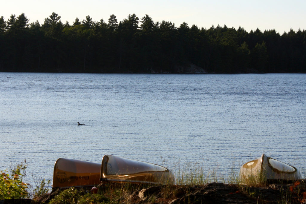
It was early evening by this point, so the winds were at their peak, and we still had to cross half of Harry Lake (800m) to get to our campsite, which took a lot of effort from a group already done for the day. We made it though, to find an absolutely fantastic island site waiting for us. It was pretty big, had a flat, raised rock for a campfire area with a great view of the sunset over the trees to the west. Further back there is plenty of spots for tents. With the privy so close at the last sight, we found it interesting that it was so far back a little bridge is required to cross to get there.
We sat and rested, then forced ourselves to eat. Days like this can be a little dangerous if you get to the point where you’re too tired to eat, so you really have to make an effort or pay for it the next day. We had great weather again (though windy) and went to bed hoping how long that would last.
Finding the Portage (Day 3)
Sure enough, Day 3 began with yet another beautiful day. A little tired, and deservedly so, we slept in a bit and took our time getting out on the lake. We paddled east to our next portage – a 705m that would take us across to Pike Lake – but had a hard time finding it. Killarney has tiny little plaques to indicate the location of portages, and we must have missed it. When we got to the end of the lake, there was a stream on my map and I thought that maybe it meant that we could get through or even line. Once we realized there was no way, we back-tracked and found a steep rounded rock for a take out. The portage was a nice flat trail, that seemed much easier than paddling across Pike. The lake turns into a narrow river full of bogs and lily pad fields where planning ahead (or watching the first canoe) will save you some effort getting through. Interestingly, the map I had of the area suggests the river is much smaller and perhaps impassable, but then opens up where the 400m portage to Balsam is supposed to be. It makes it look unnecessary, but sure enough we were carrying our canoes.
We turned south at Balsam for 1.6km where we crossed the 665m portage into David Lake. It turned out to be relatively easy and flat, but started with some ankle killer rocks scattered up an incline. At the end of the trail the end of Day 2 repeated itself – another fantastic view of the Silver Peaks and a strong wind to contend with. This time though, the lake we were on opened up then narrowed concentrating a downright heavy wind.
Trouble on David
Our original intention was to get to a campsite the furthest south on David, and assuming that Day 3 would really only be a half day, we would drop our gear and hike up the Silver Peak trail. With the late start and the heavy winds, not to mention the effort from the day before, we weren’t too sure about the side trip up a mountain. What clinched it was one of our canoes losing control in the wind and having to make a break for the protected shore. Turns out they landed at a campsite and we all agreed this would be where we stayed the night. Turned out to be a great site. It was like a hidden, shaded oasis created by well spaced, tall pines with wide branches creating a natural canopy. With lots of space, much of it was flat with a soft padding of pine needles covering the ground.
It was probably best that we rested a bit on Day 3, it gave us a chance to relax and appreciate the beauty of David Lake. The waters are brilliantly blue, and when the stars came it it was another reminder of the benefits of being so far away from the city – which we had yet to really appreciate due to going to bed so early on previous nights.
The Paddle Home (Day 4)
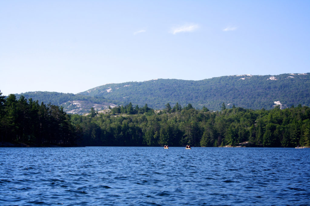
We couldn’t believe our luck as we woke on Day 4 to yet another beautiful day. Our last day would be relatively short because of the travel back home, so we took our time setting out and paddled south down David where we got our best view of the Silver Peaks. It was pretty windy in the middle, but I found myself surrounded by views of hills, and so I stopped paddling and took as many pictures that I could while rolling in the waves. David turned east, finally protected by the wind, leading to a 200m portage then another 745m to get back onto Bell Lake. It’s strange that this area had more rocky cliffs than on the section we paddled on Bell the first day.
This confirmed to me that we went the right direction. Had we gone the other way, our backs would have been to the mountains, for one, but it seemed that the views had a natural progression, climaxed by the view of the Silver Peaks from David Lake.
The moment I got home I started planning the next trip in the area, that would definitely include a hike to the peak. I can’t wait to go back.
Nancy Postscript:
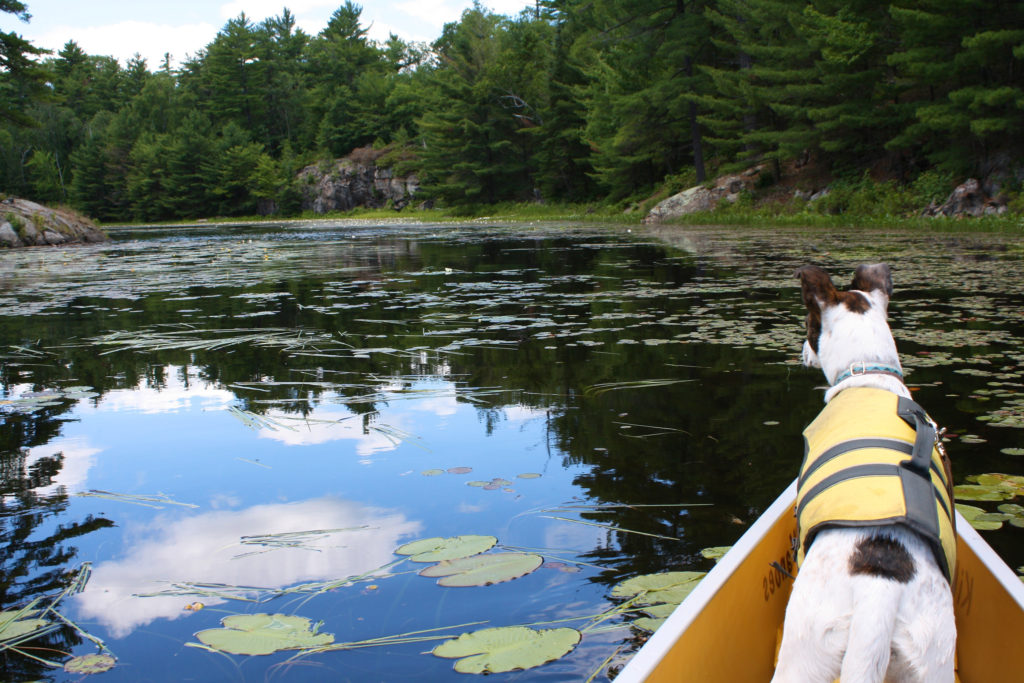
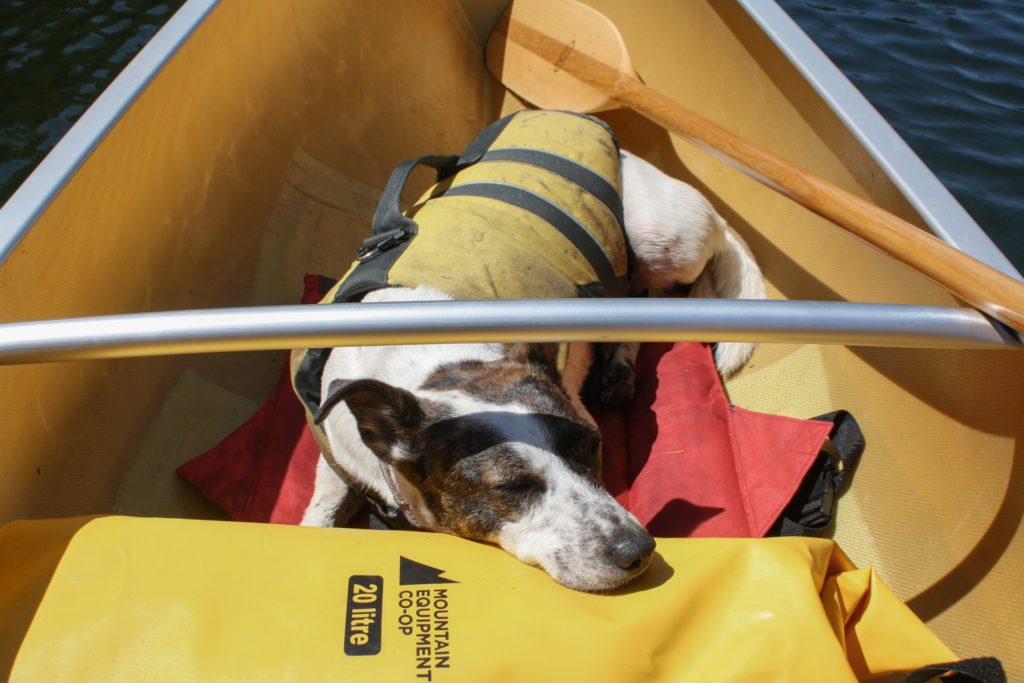
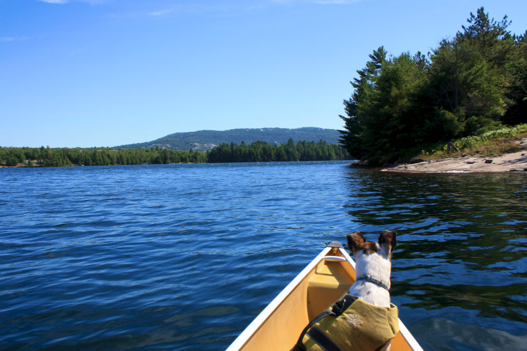
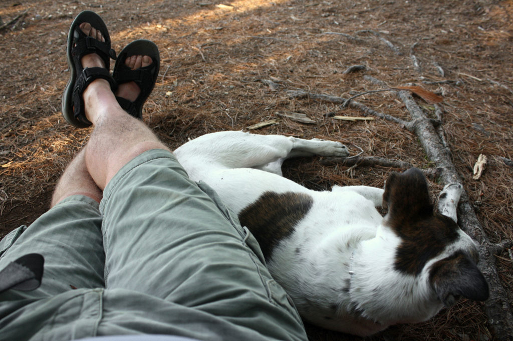
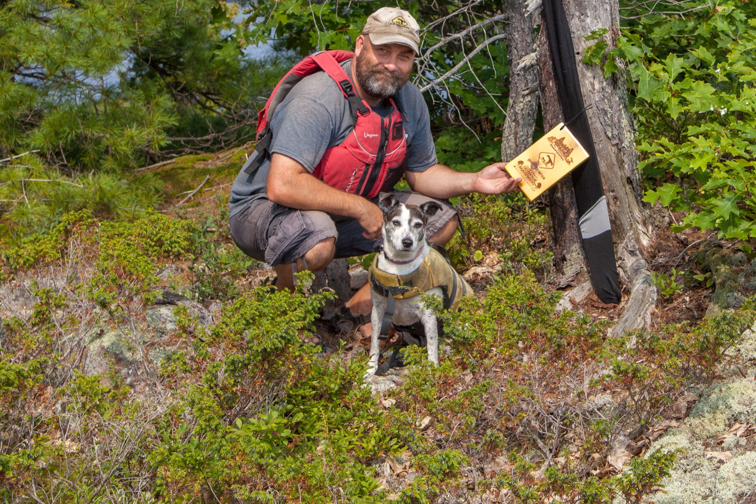
Nancy had a fantastic time. She wasn’t a huge fan of the length of the drive out there, but I’m sure she’d say it was worth it. Even with the few people we did see, she made sure to make make some friends. On three separate occasions I recounted her story of coming from Louisiana, being adopted in Hamilton and now running in the northern Ontario woods, each time to a pretty captivated audience. You see a cute dog in a life jacket, you always want to know more about her. I was surprised however, by a group of young ladies who oddly had no time for her when we were packing up at the outfitter’s parking lot. Usually she knows instinctively who is going to fawn all over her and makes a beeline towards them (“She knows her market” as my wife would put it). These ladies didn’t want anything to do with her no matter what Nancy did. It was a little strange, and I have to admit I felt a little empathetically snubbed.
I had a thought that perhaps she wasn’t as personable as I perceived. That thought was quickly lost when we stopped in Parry Sound for dinner. Because it was so hot, I couldn’t leave her in the car while we ate. We found a place with a patio and I put her on her leash with some water in the shade beside the patio. We went inside to eat knowing she was okay, but came back out to find a table full of people on the patio right beside where I left her. She proceeded to jump up and nestle herself up on the feet of these strangers sitting having their meal. When I apologized they all went on about how great she was. We left to a chorus of “Bye Nancy” from her new friends.
Session expired
Please log in again. The login page will open in a new tab. After logging in you can close it and return to this page.
It was totally worth it to get that shoe back. This was a fantastic trip.
The long drive there is defiantly worth it, I took a similar route this summer 2012. I tackled silver peak, even though I was ready to give up near the top. Its not an easy trek thats for sure, I would suggest a warning sign posted at the bottom of the path, as this trail isn’t for everyone. Bring lots of water and, sturdy footwear. I would go back just to do it again however, the views are miraculous. Happy paddling!
You’re right, Juli. The Silverpeak isn’t as easy as you’d think, and would totally support your sign idea. It’s funny, but I tried to include the hike on several trips – like this one – only to run out of time (or energy, or a broken tent the night before that needed dealing with). But you’re right, it’s totally worth the effort for the view.
This photo was taken live from the peak:
http://www.facebook.com/photo.php?fbid=416202791771522&set=pb.119842181407586.-2207520000.1358898761&type=3&theater
Rob J says:
August 19, 2013 at 12:23 pm
We decided to spend an additional day on David so we could fully enjoy Silver Peak. A short paddle there and back, and a good 5-6 hours hiking and enjoying the sites. We camped on David two nights, which was a first. What a great feeling, waking up and not having to think about packing up right away.
It really changed the typical paddle/portage trip experience. Gorgeous area and route.
We did take the other way, though, coming in East and looping back around West. The views were magnificent, and you could see Silver Peak for pretty much an entire day. We liked that the first two portages were extremely inclined and difficult, but the remainder on the west side of the loop were mostly on a decline. It allowed us to make the more difficult portages earlier on when our strength was high.